Kos Island International Airport Hippocrates (KGS)
Orientation and Maps
(Kos, Greece)
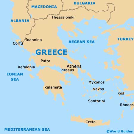
One of Greece's 12 Dodecanese islands, the island of Kos is sited to the south-west of nearby Turkey. Kos is amongst the most notable and popular of these islands and offers the best range of historical attractions. Apart from Kos, other noteworthy islands include Rhodes, Agathonisi, Lipsi and Telendos.
The island of Kos has a population of just over 30,000 and is home to a number of well-preserved ancient monuments and ruins. Kos town is the island's most populated and tourist-friendly area and is close to Ippokratis Airport (KGS), which lies in the south-western suburbs and near to Antimachia, Kardamena, Cape Helona and Pyli.
Kos Ippokratis Airport (KGS) Maps: Important City Districts
The town of Kos is home to a busy port area and many attractive white-washed buildings. Amongst its many highlights, the town's imposing fortress is particularly impressive and is located at the harbour entrance. Dating back to the early 14th century, the fortress dominates much of the area.
Other notable villages around the island of Kos include Kardamena, Tigaki, Antimachia, Mastihari and also Marmari. Located to the south, Kefalos is a great place to head if beaches are your thing and the main coastline here is centred around the Paradise Beach area. Rated as one of the best coastlines on the whole of Kos, Paradise Beach also offers a range of water sports and nearby cafes. Other popular beaches include Marmari and Tigaki on the northern side of Kos, Kardamena to the south, Lambi and Psalidi in the Kos Town area, and Therma close to Agios Fokas.
Greece Map
Kos Map

